$49,380.00
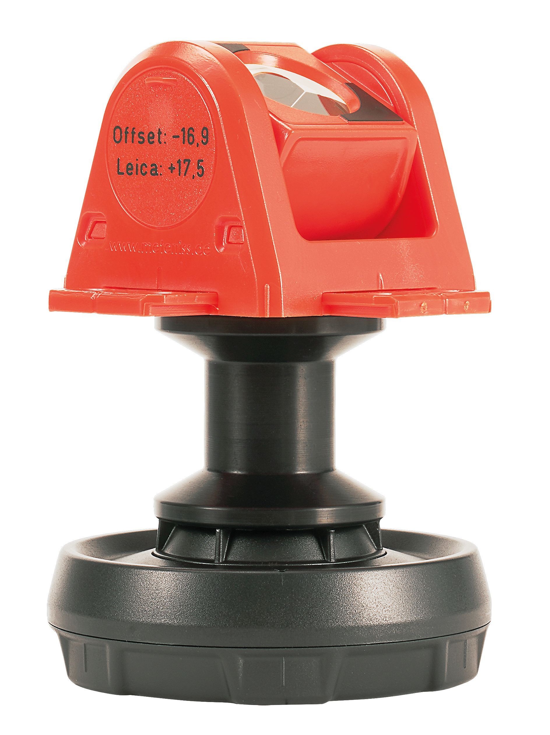
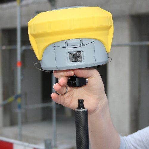
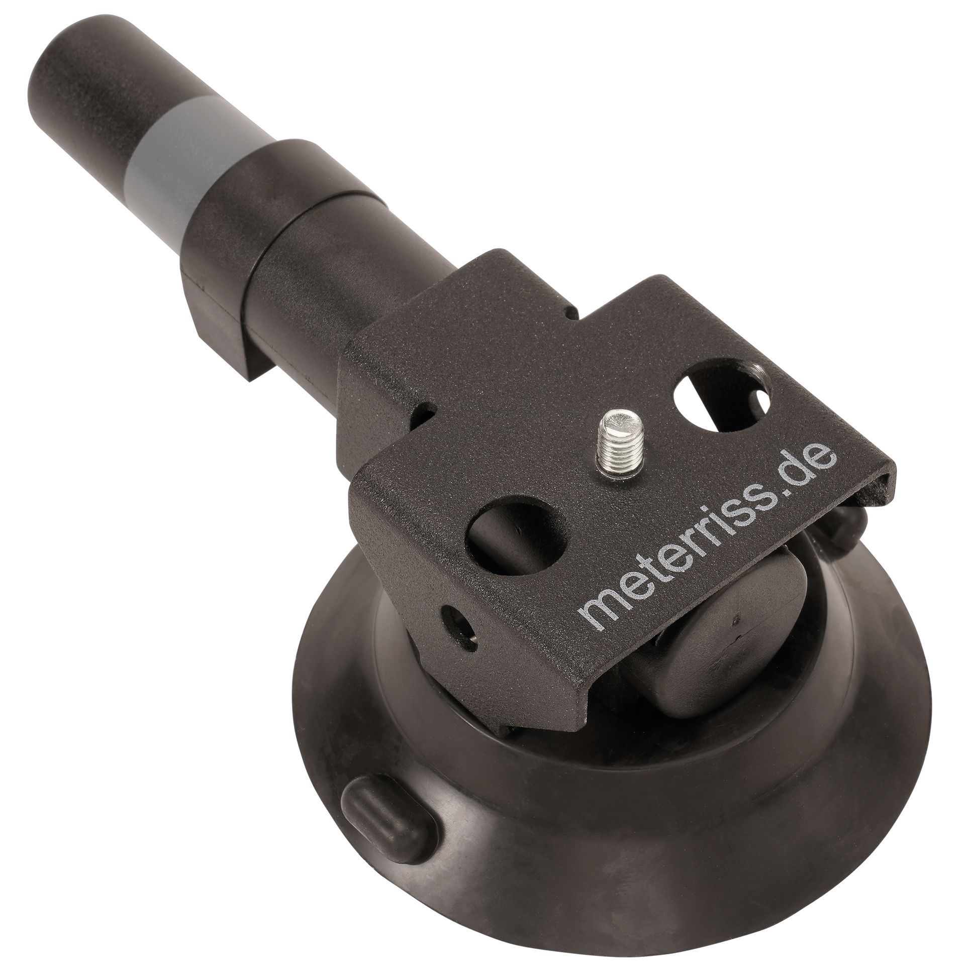
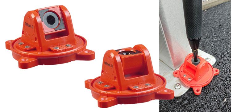
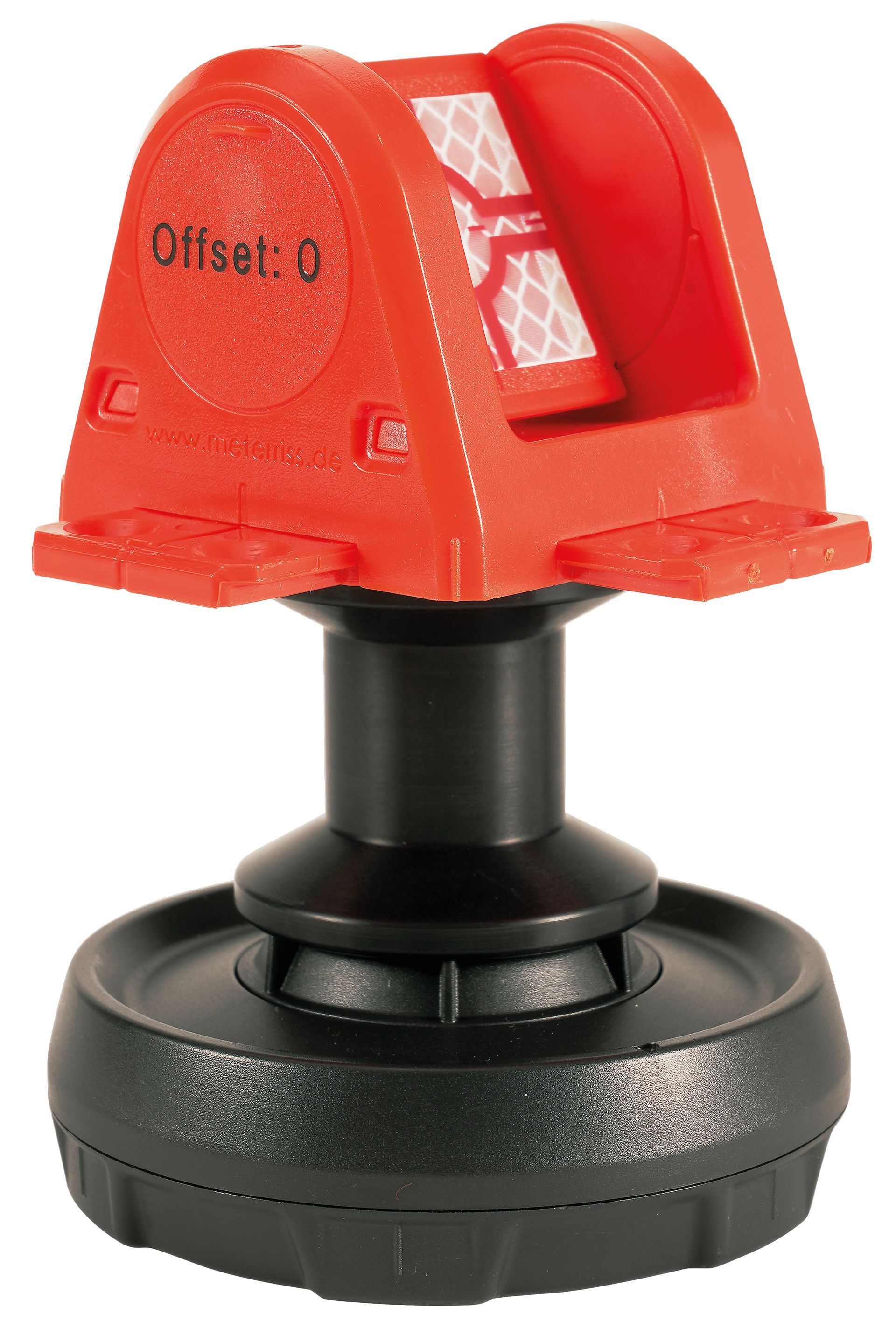
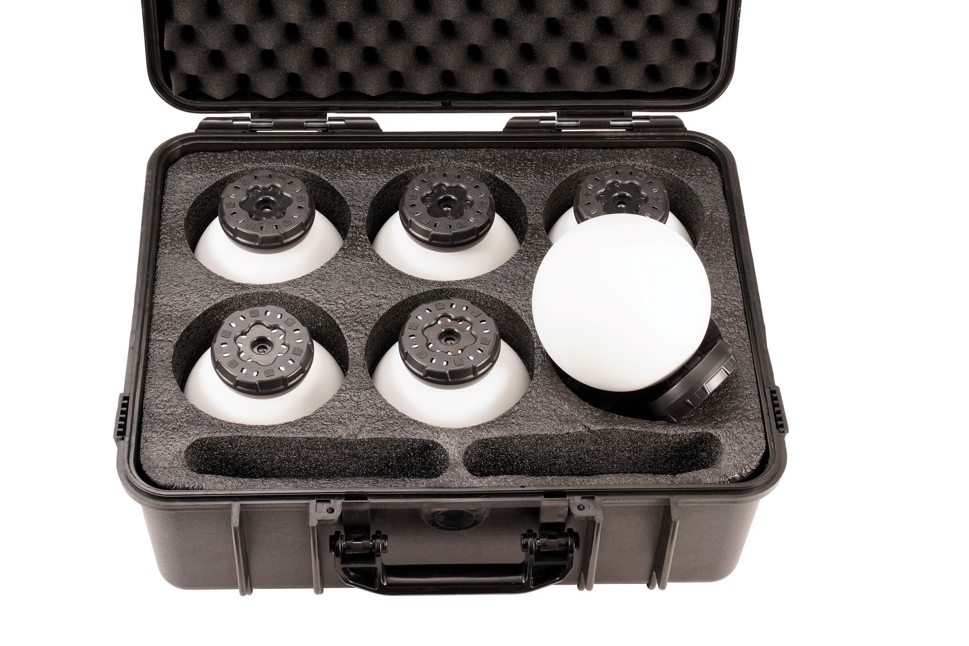
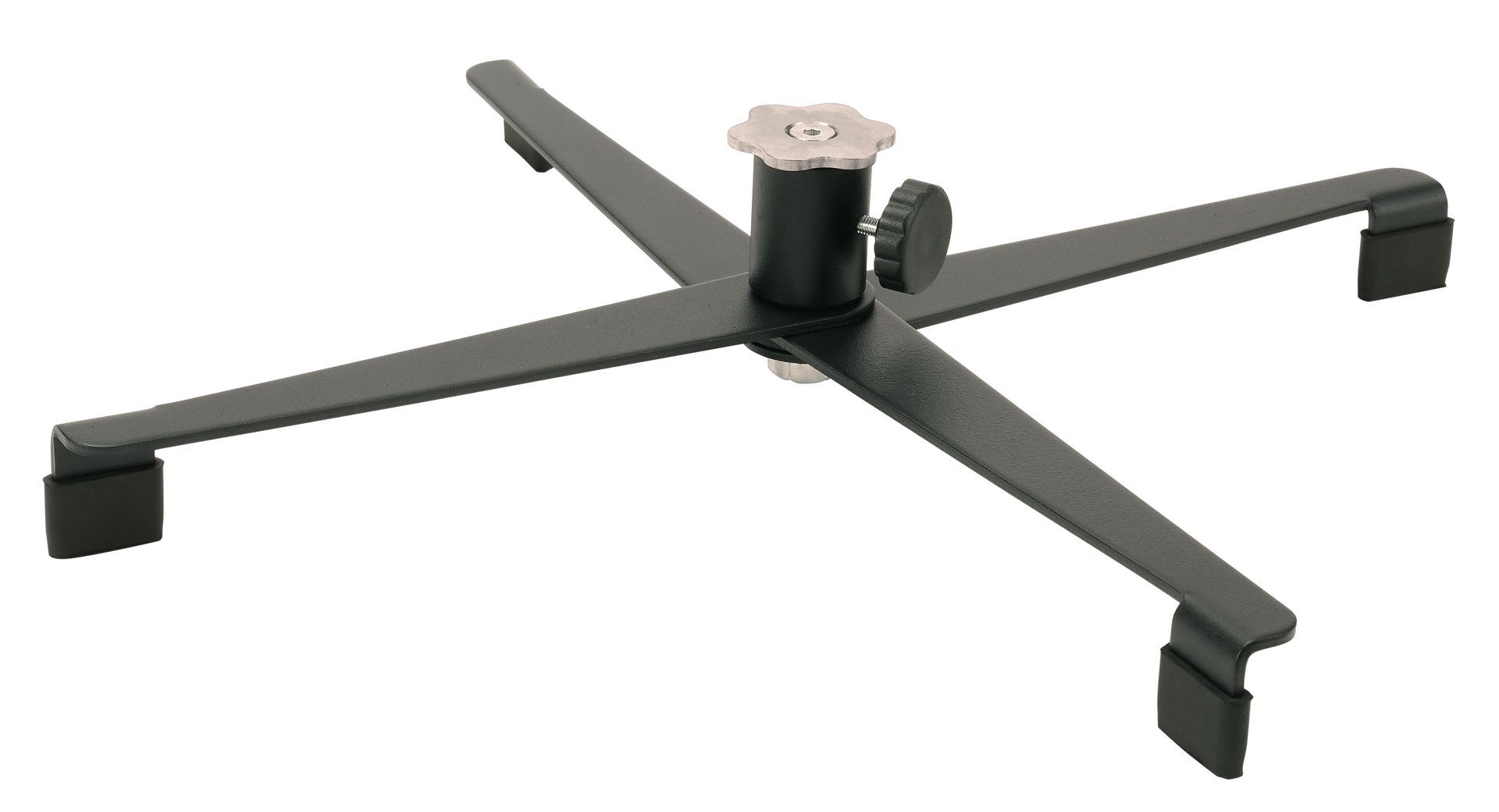
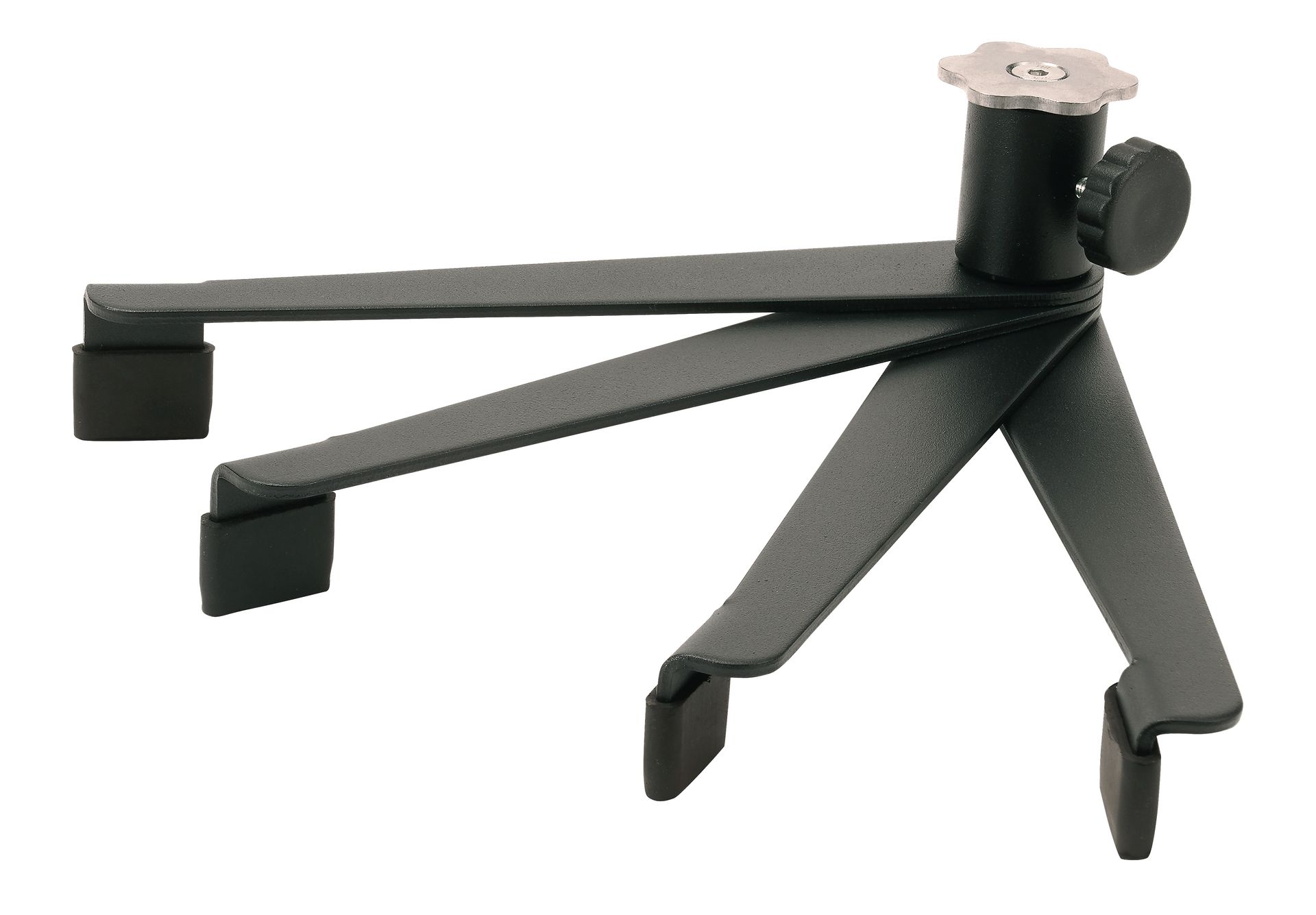
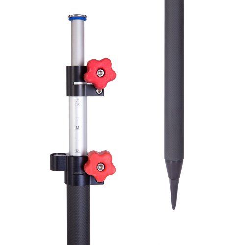
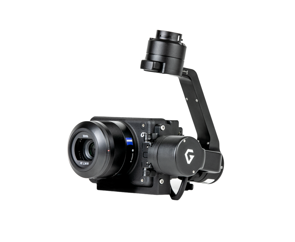
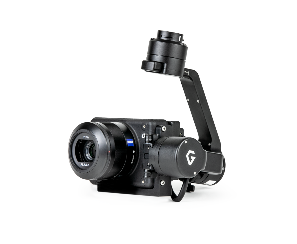
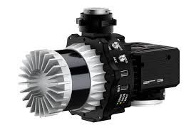
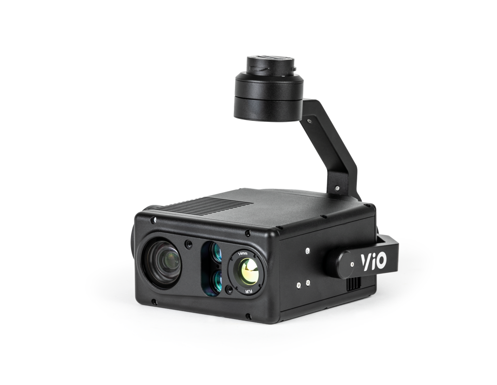
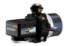
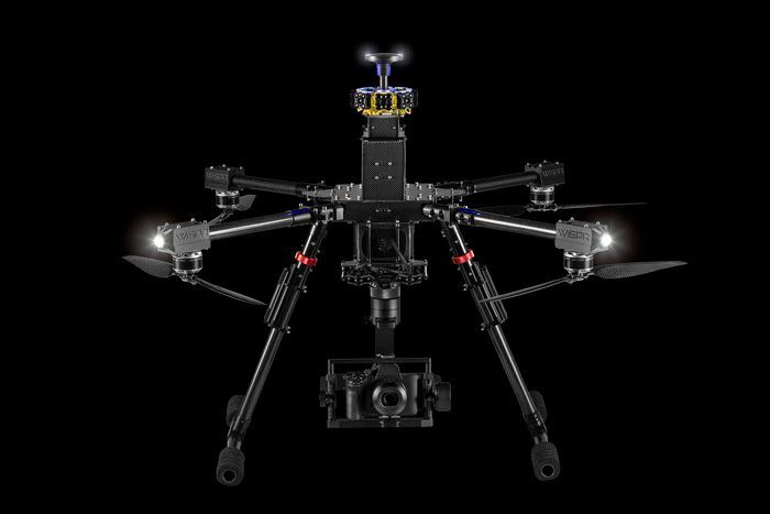
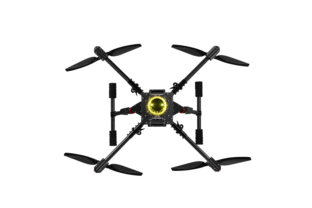
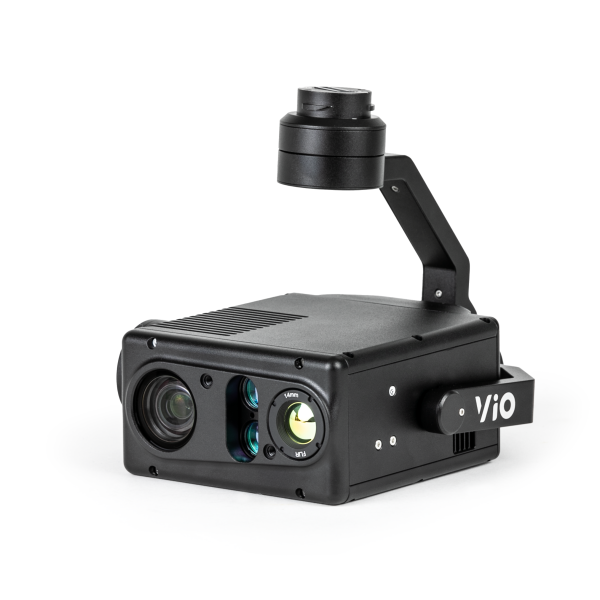
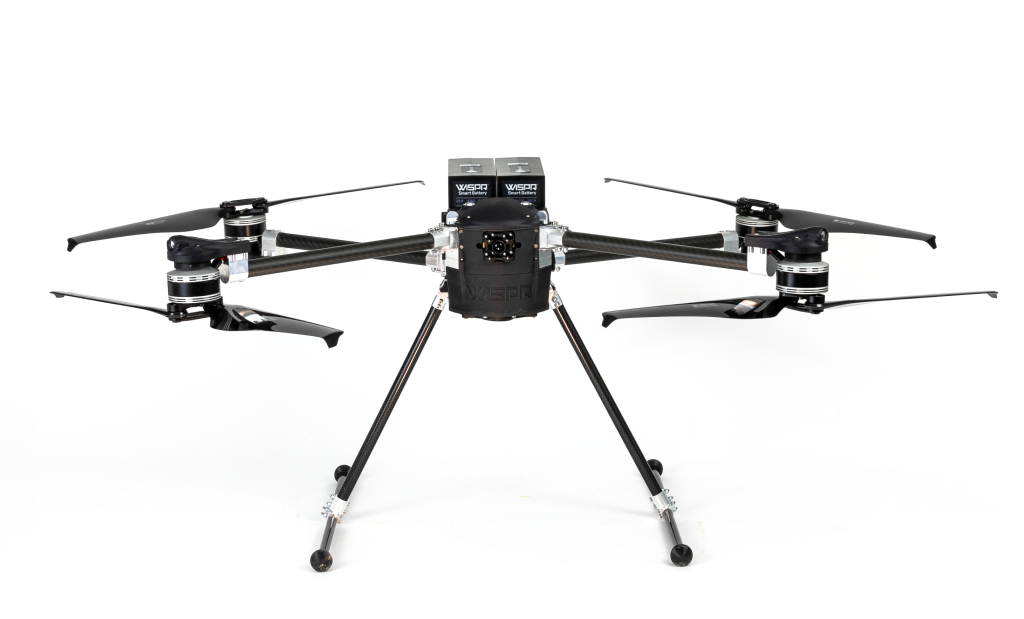
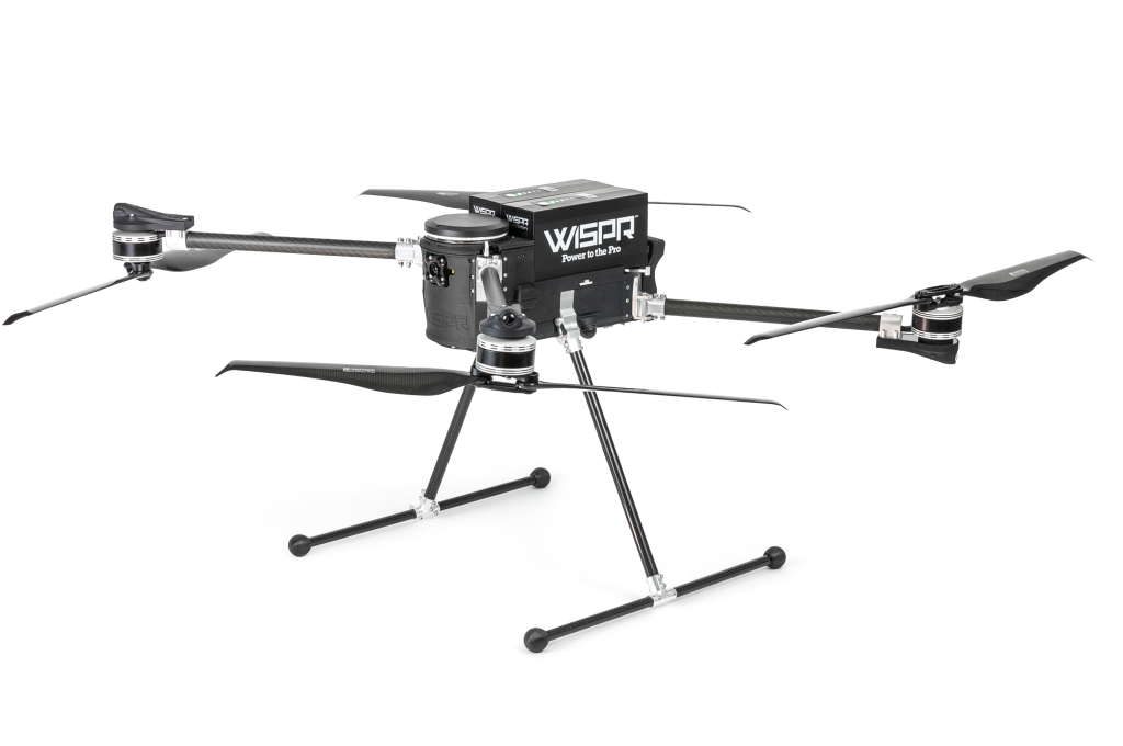
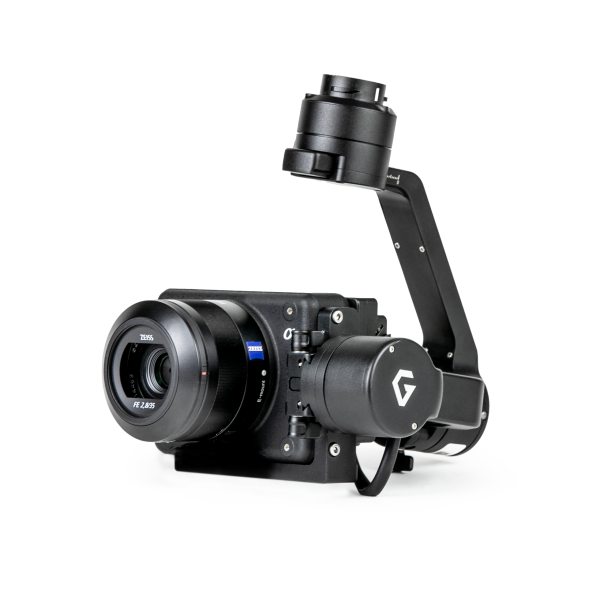
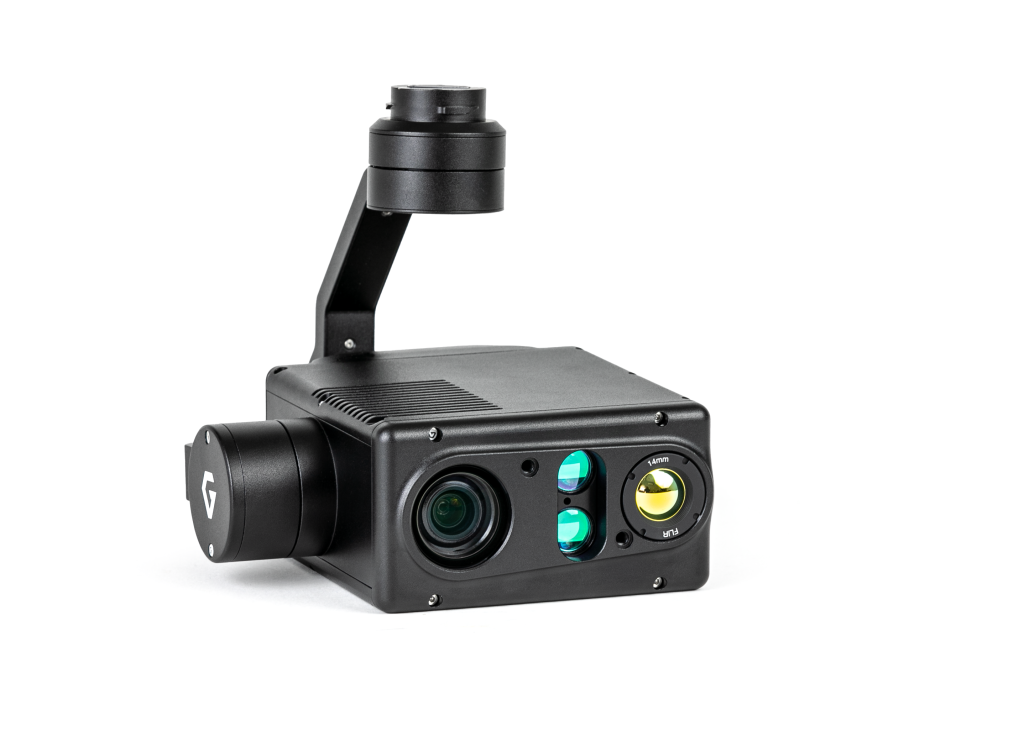
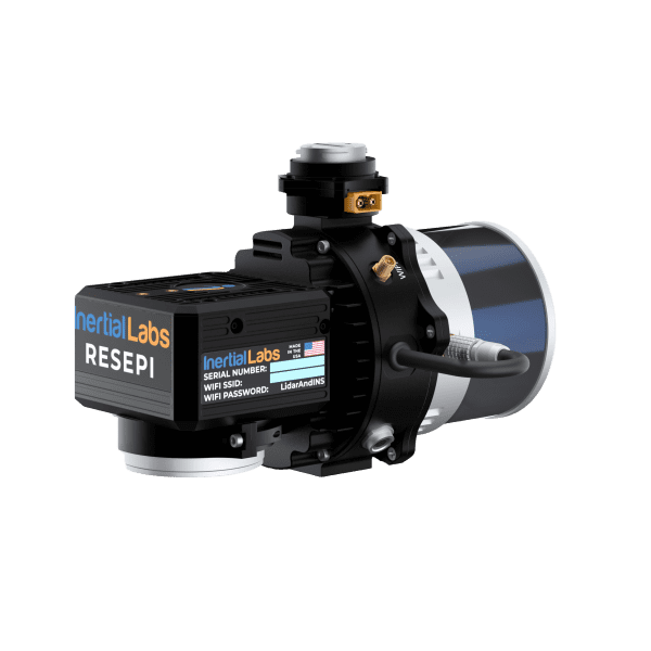
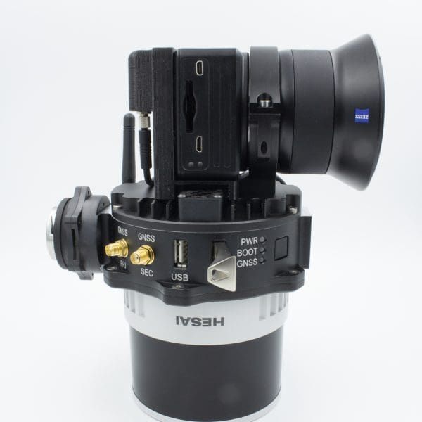
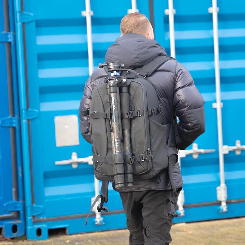
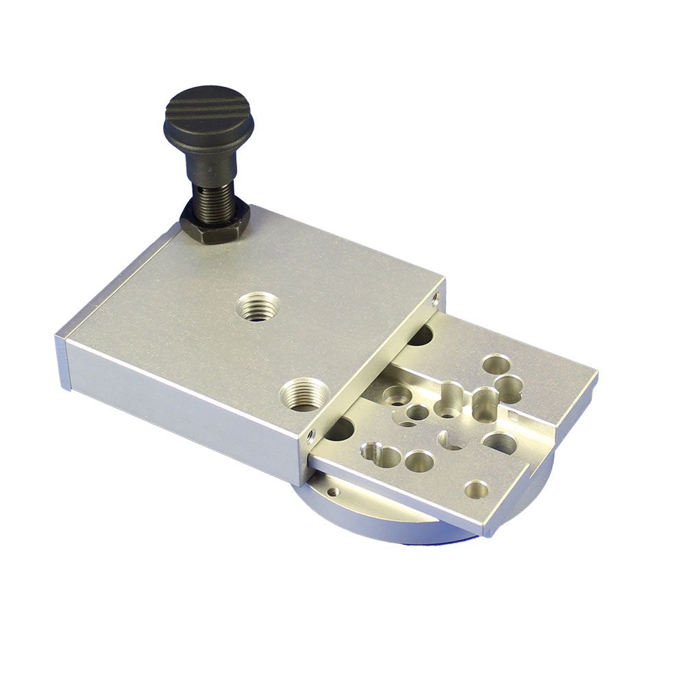
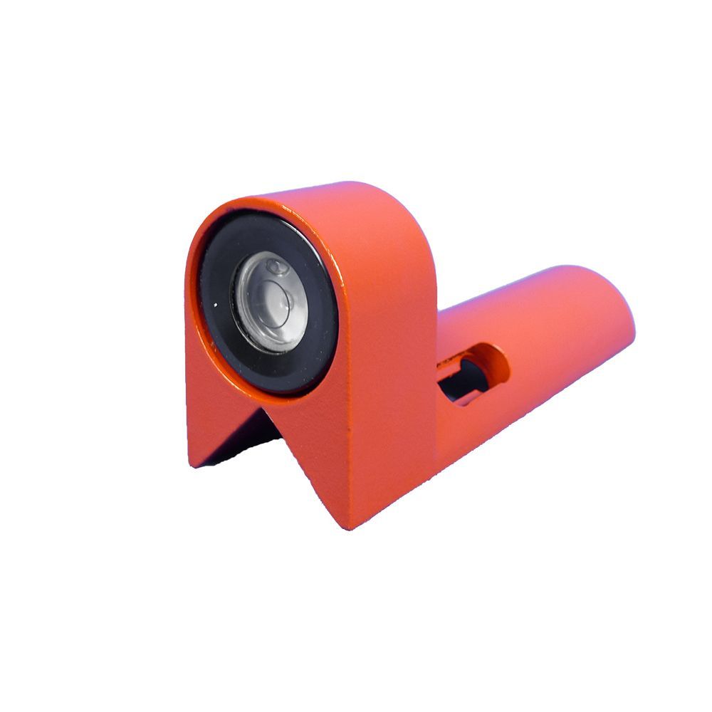
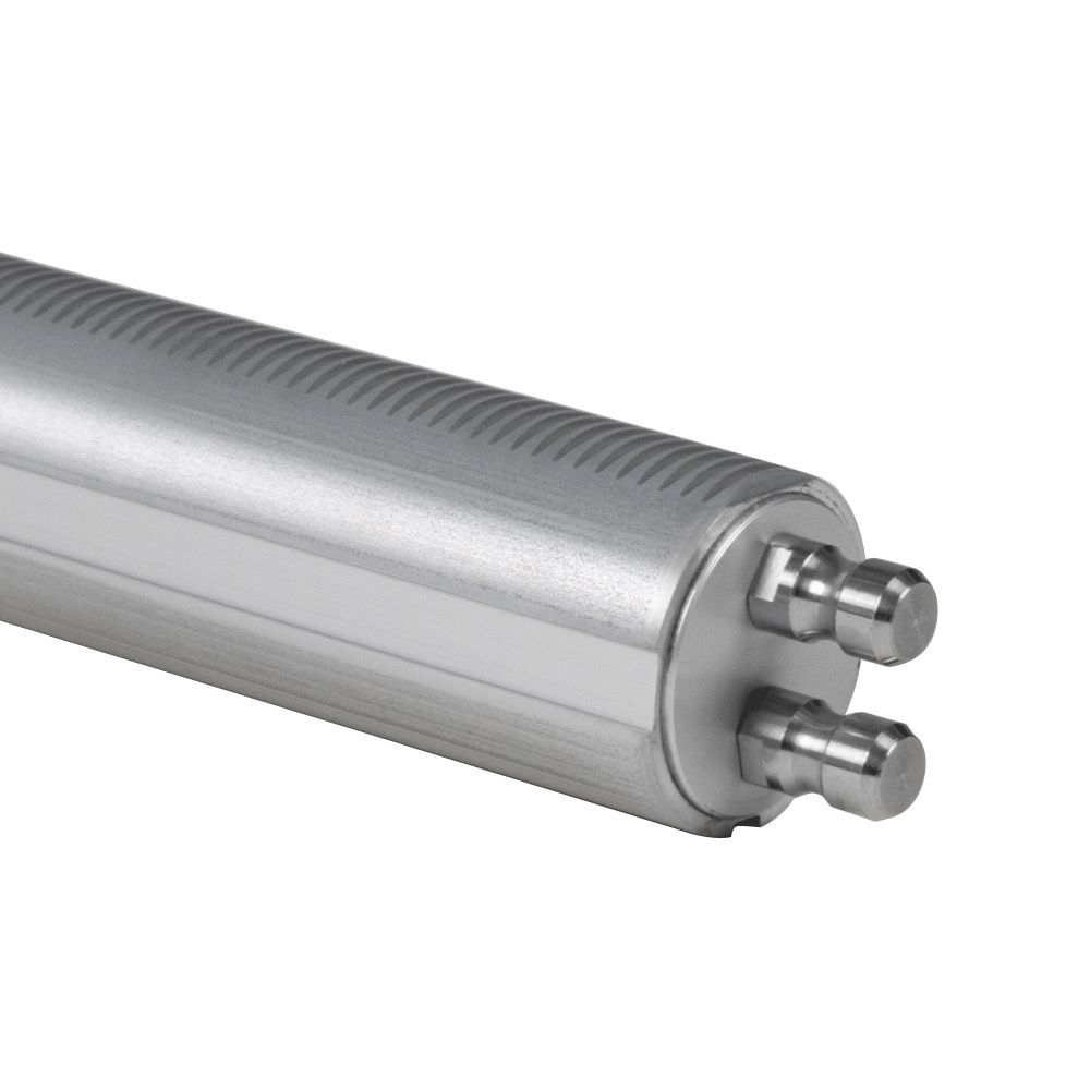
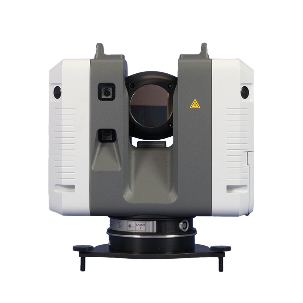
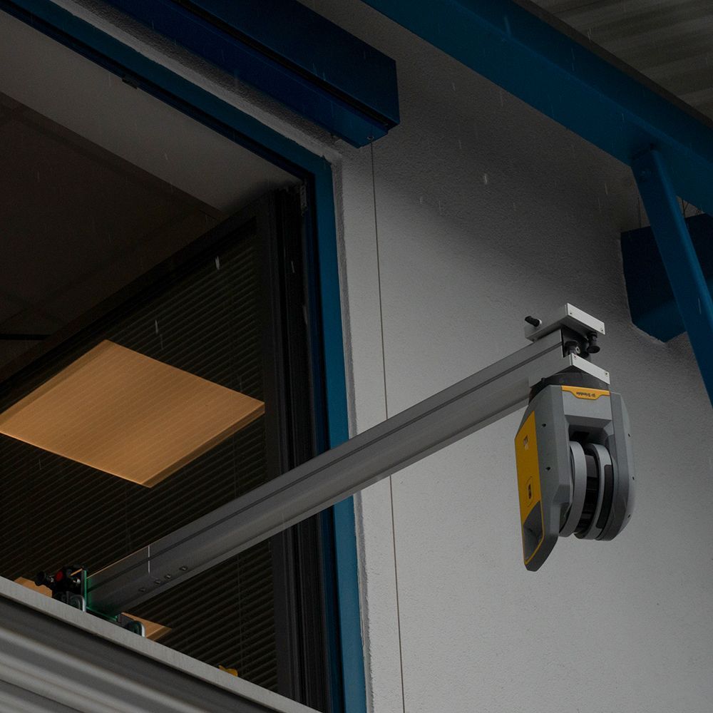
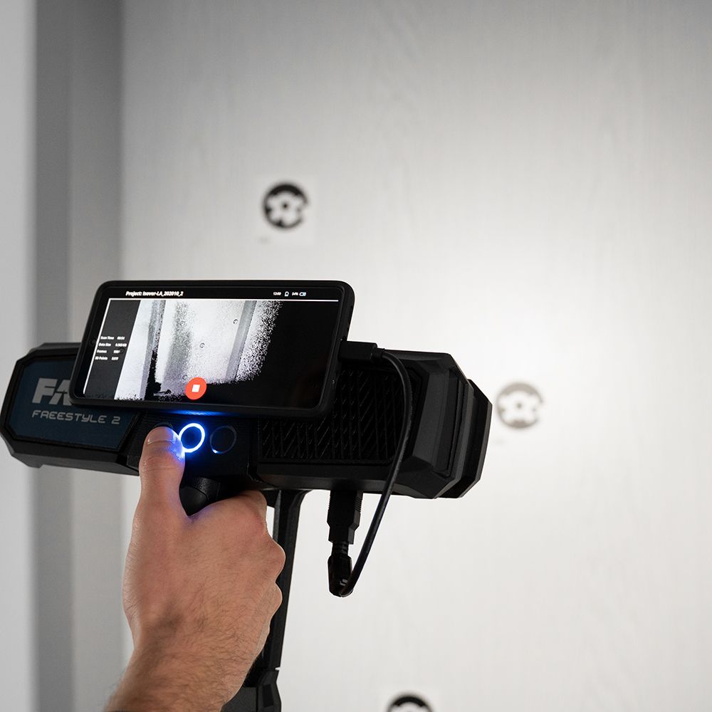
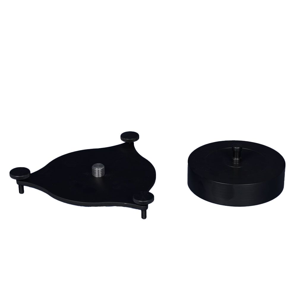
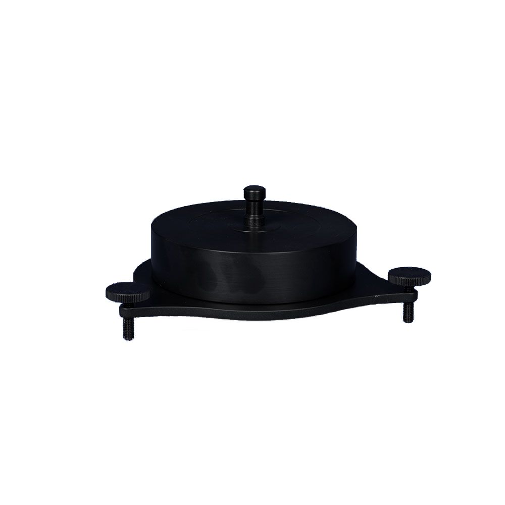
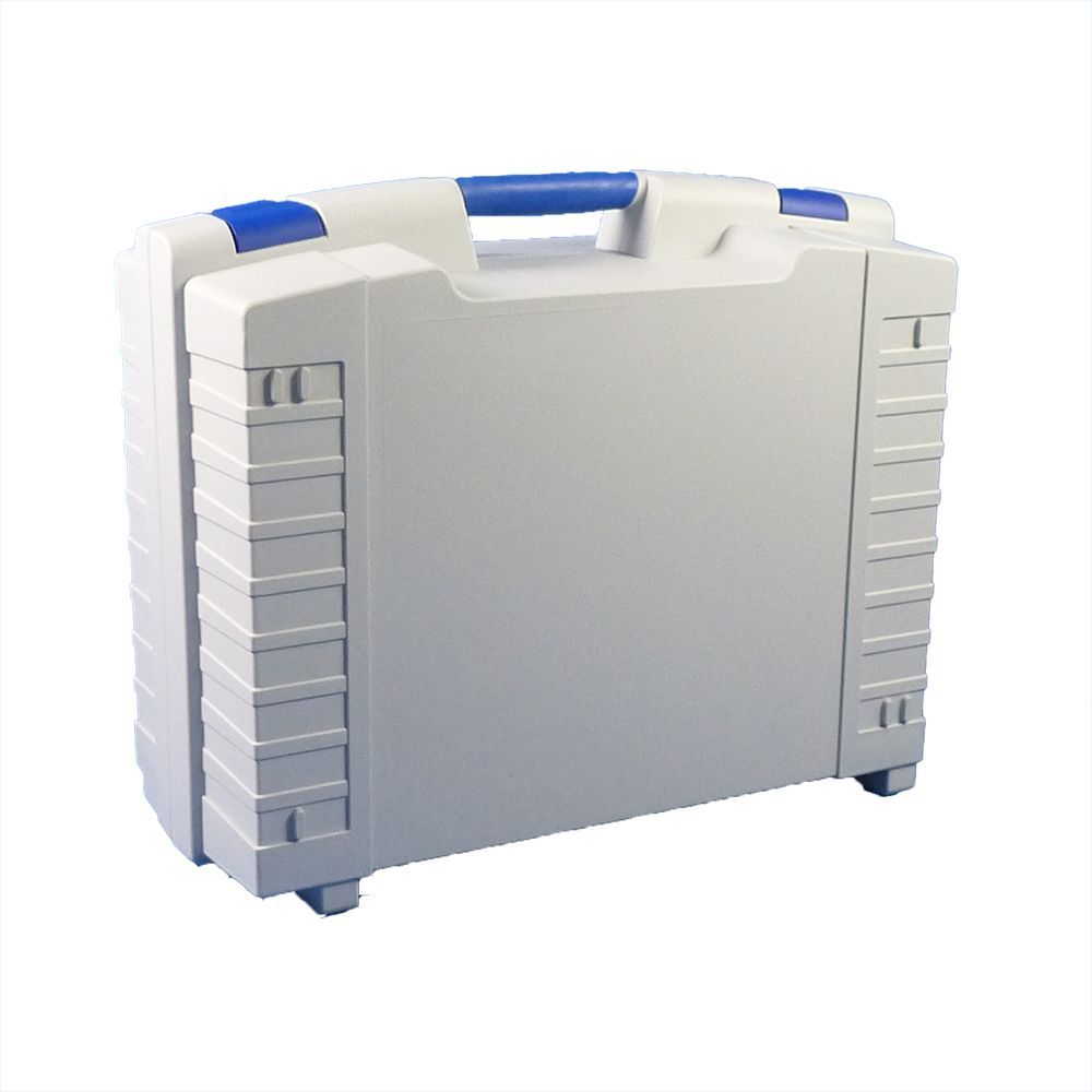
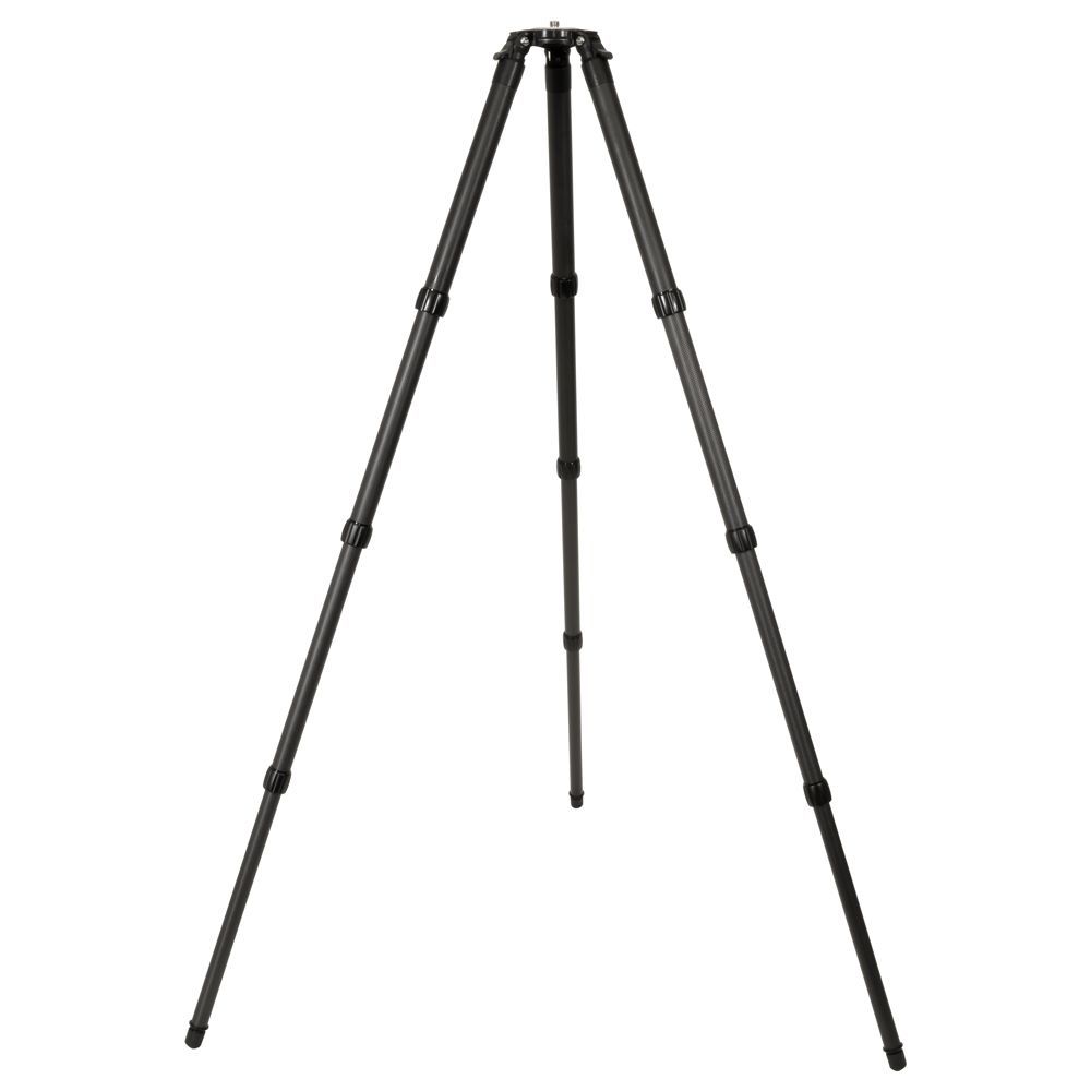
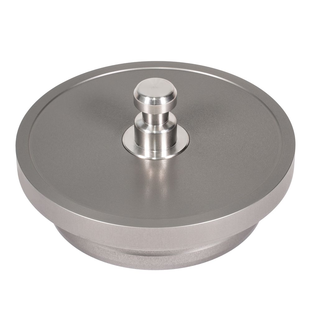
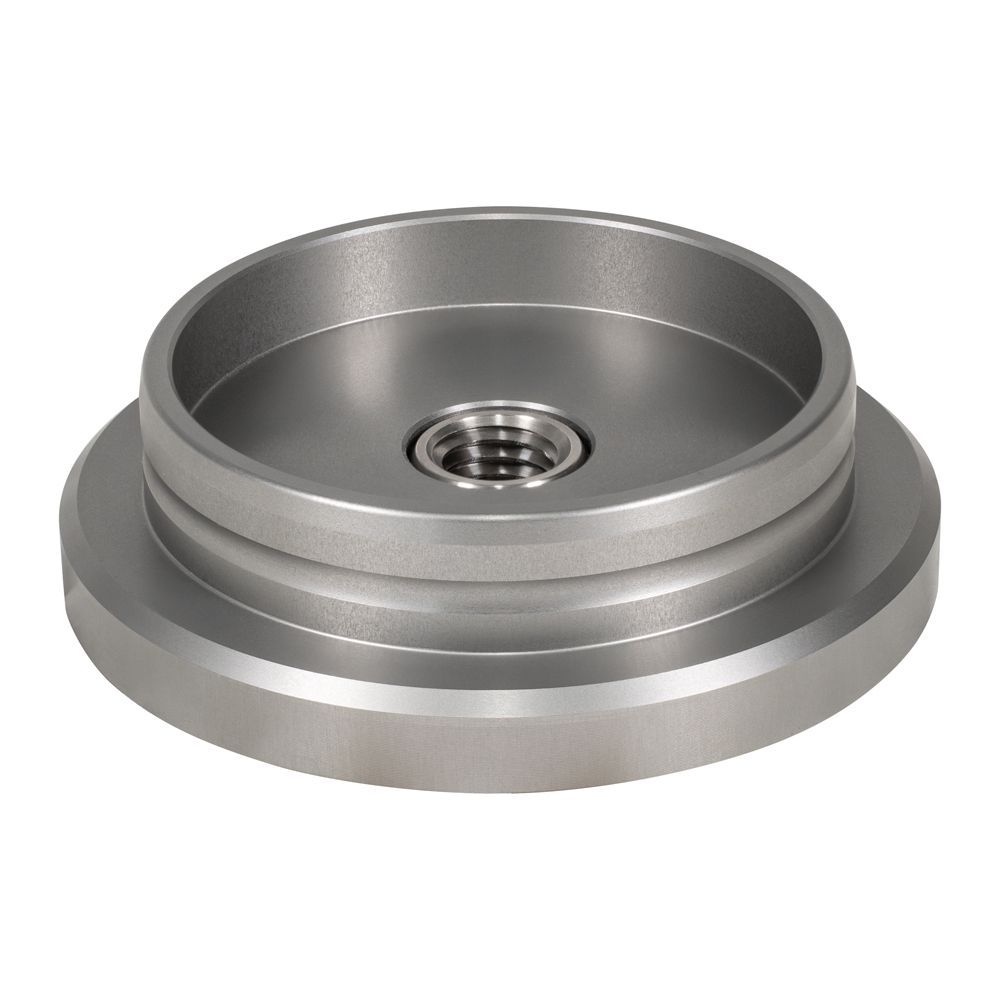
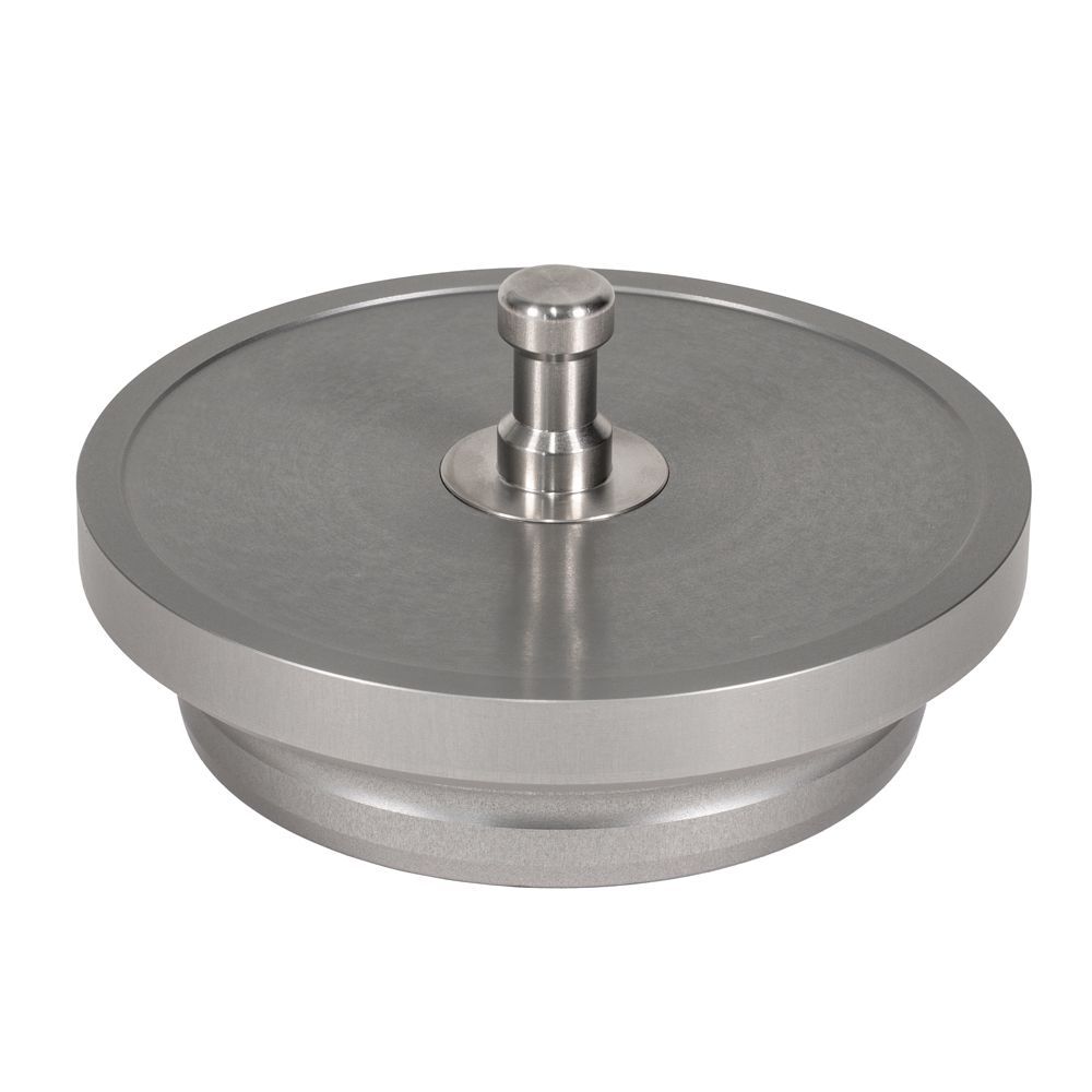
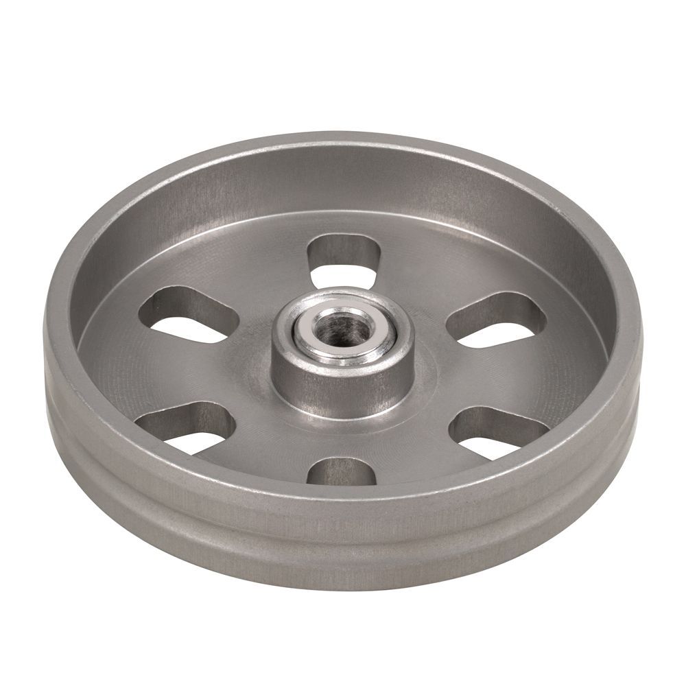
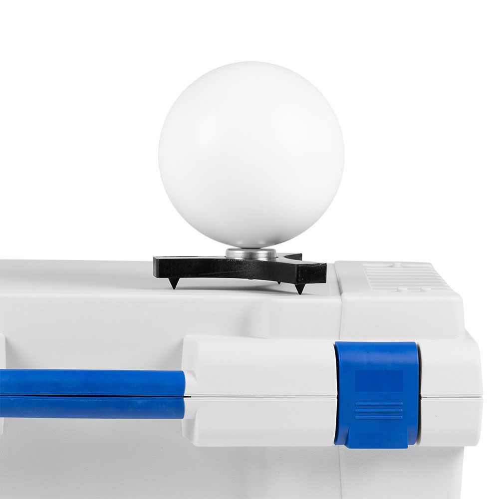
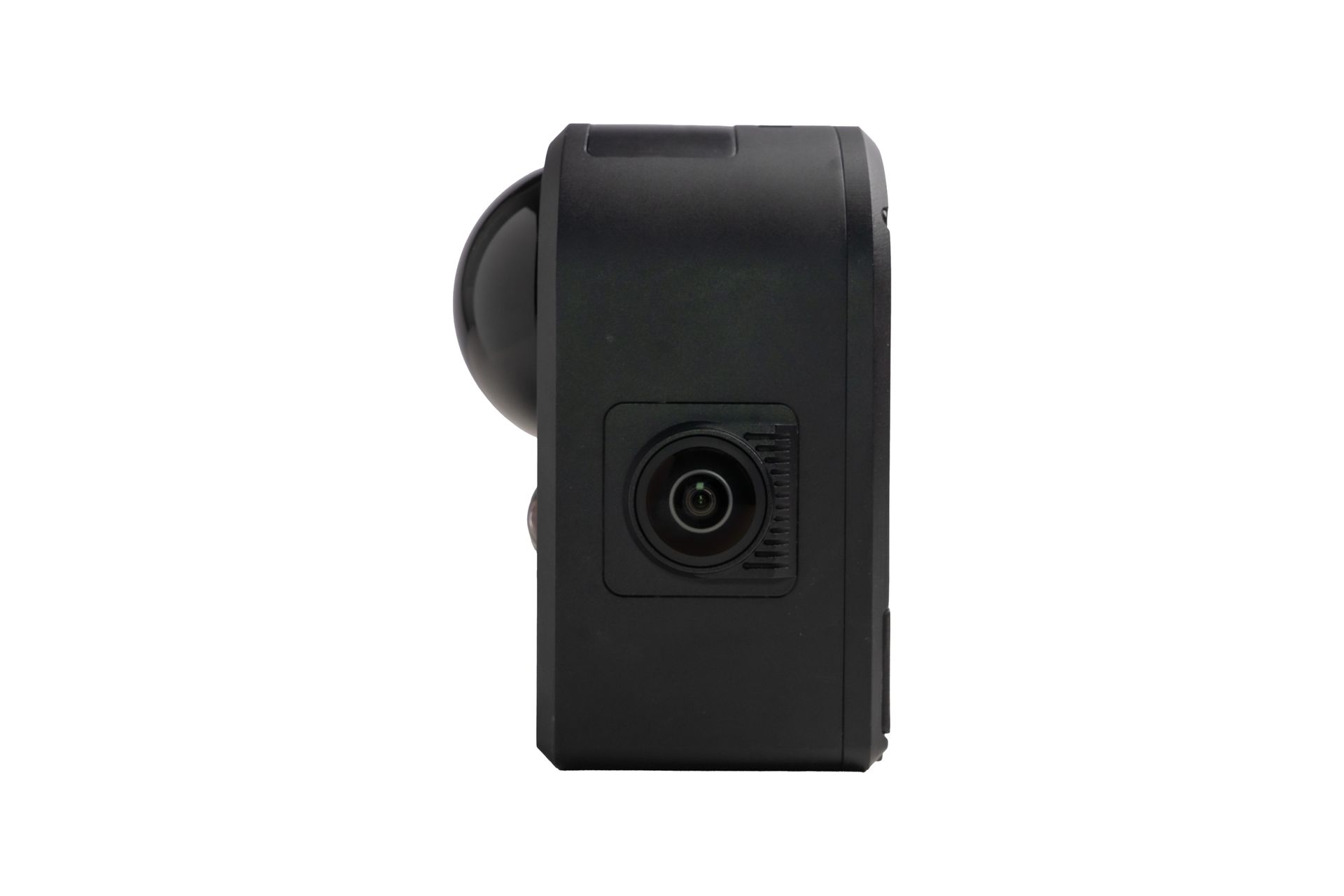
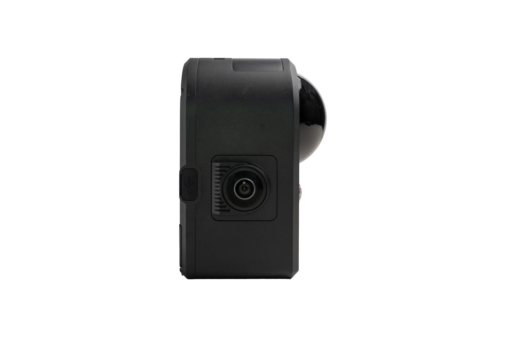
The RESEPI M2X for the WISPR Ranger Pro is an advanced remote sensing
payload designed for high-precision mapping and surveying applications.
This system integrates a high-performance Inertial Labs INS with a
tactical-grade IMU and a high-accuracy GNSS receiver, ensuring
exceptional data accuracy and reliability. The M2X LiDAR scanner, which
is lighter and offers extended detection capabilities compared to the
XT-32 LiDAR, allows for longer flight times and higher recommended
altitudes. This makes it particularly effective for mapping larger areas
and sites with dense vegetation cover. Additionally, the M2X features a
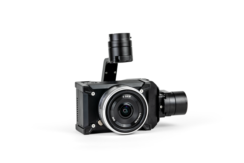
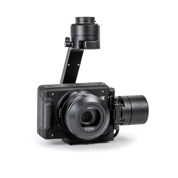
24MP RGB Mapping Camera, providing detailed image capture for
comprehensive data collection.
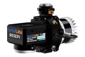
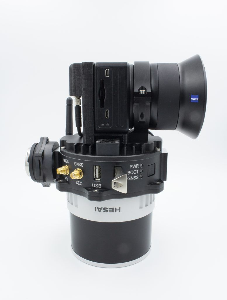
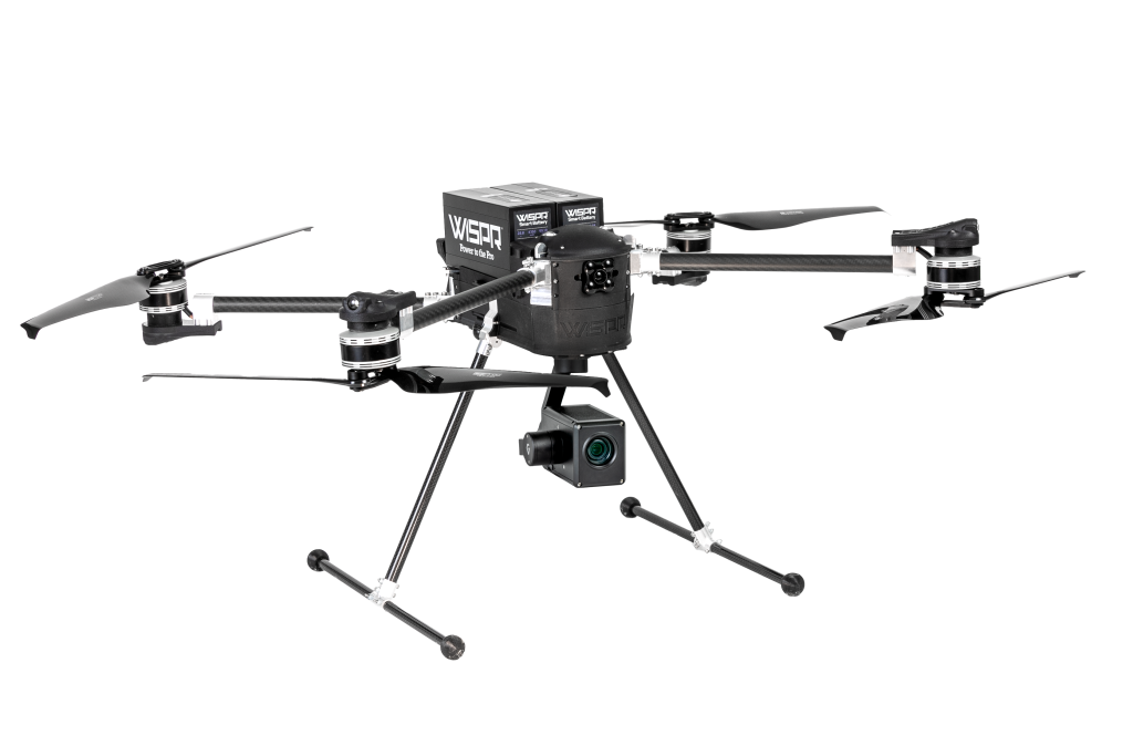
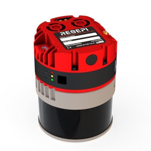
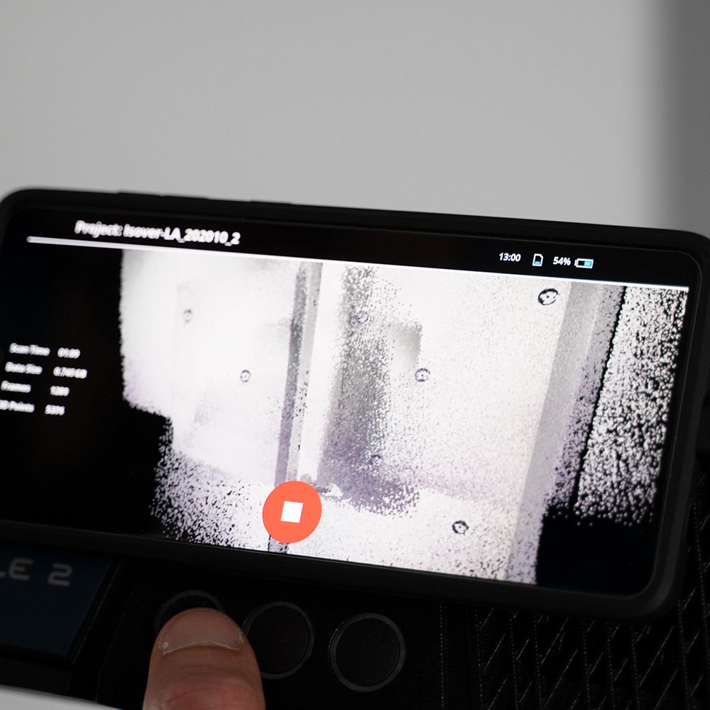
One of the standout features of the RESEPI M2X is its ability to
deliver high point density and versatile data collection. The system���s
third return capability enhances object detectd classification,
making it ideal for applications such as vegetation analysis and
infrastructure inspection. The M2X���s lightweight design, combined with
its powerful laser and advanced IMU, allows for efficient and accurate
data collection without compromising on quality. This makes the RESEPI
M2X a highly desirable tool for professionals in surveying,
construction, agriculture, and public safety, offering best-in-class
performance and adaptability in demanding environments.
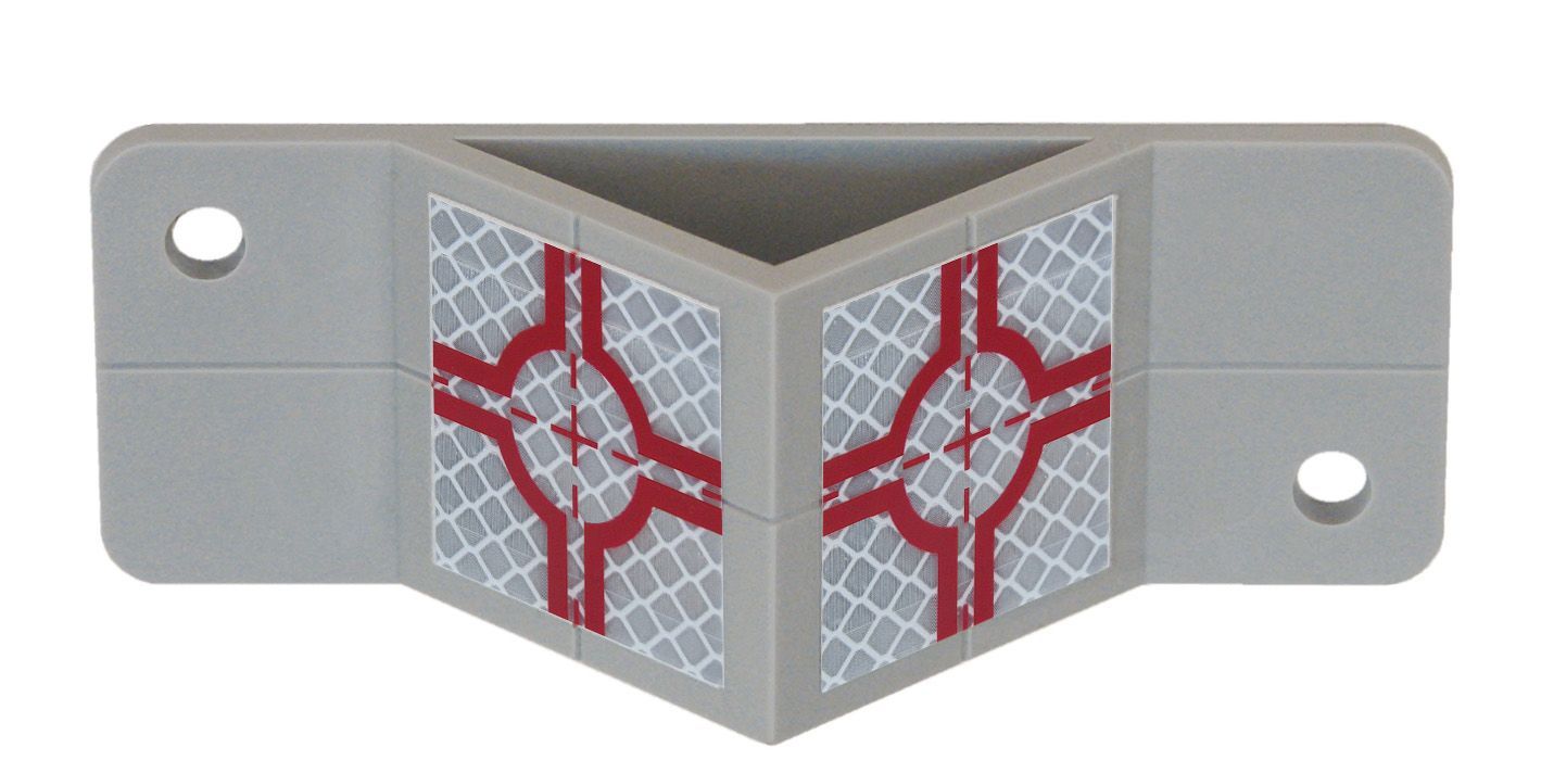
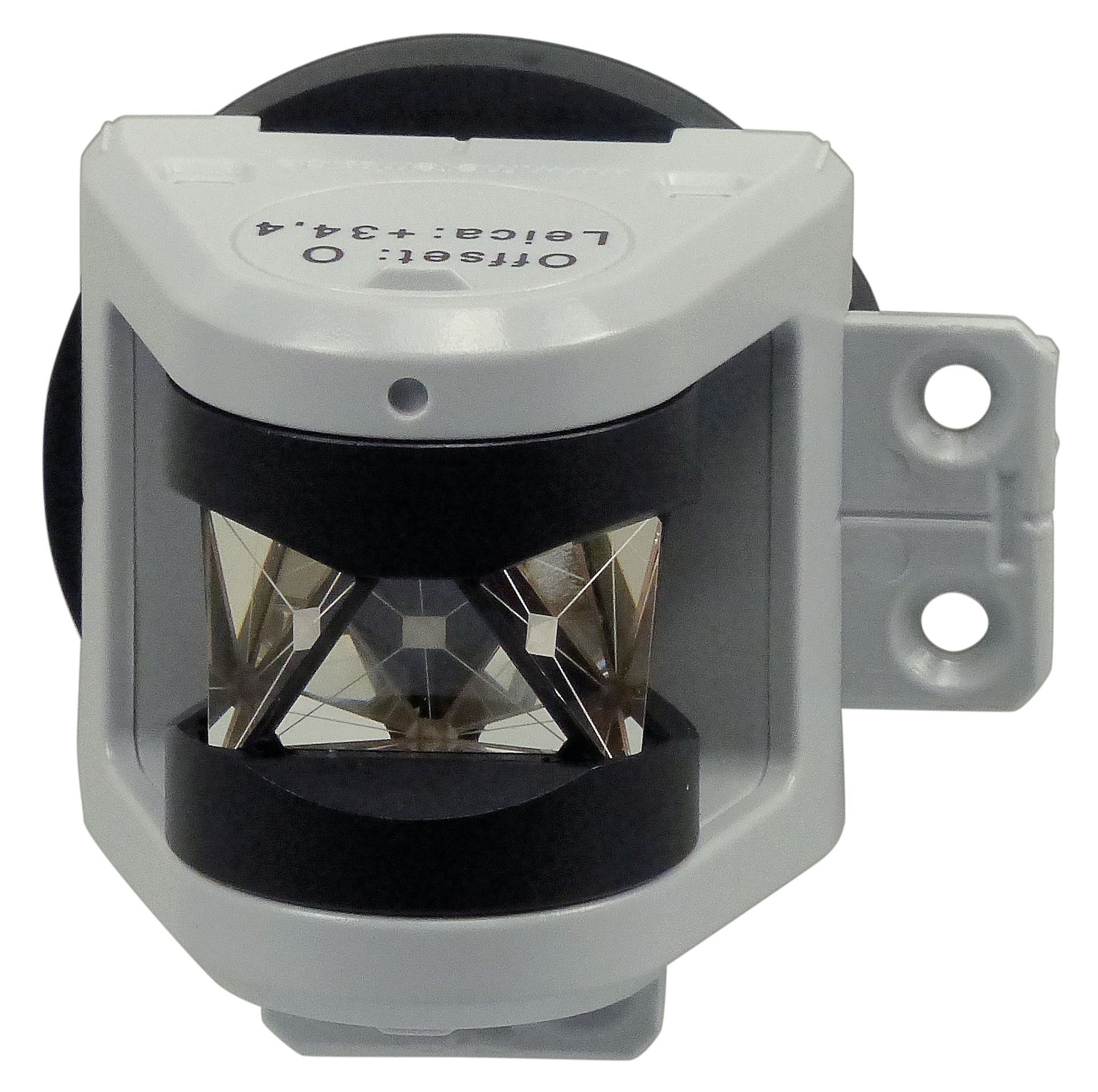
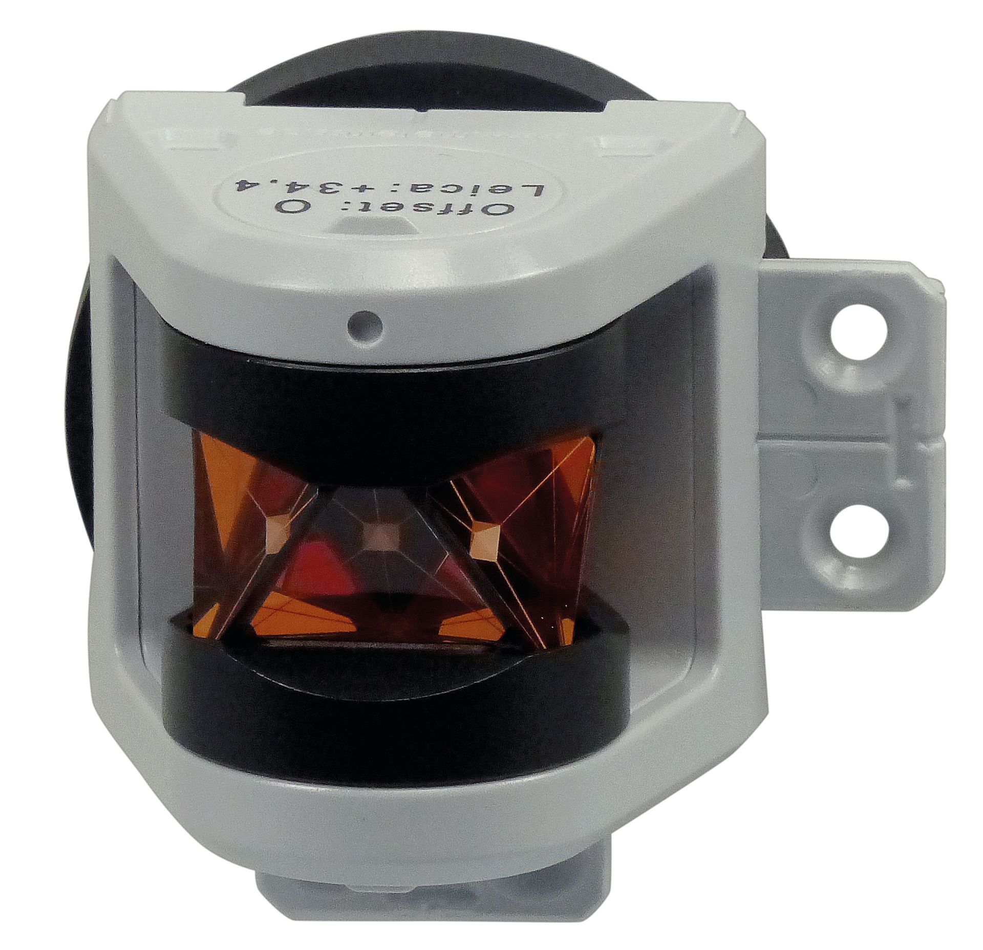
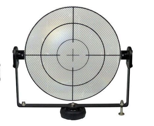
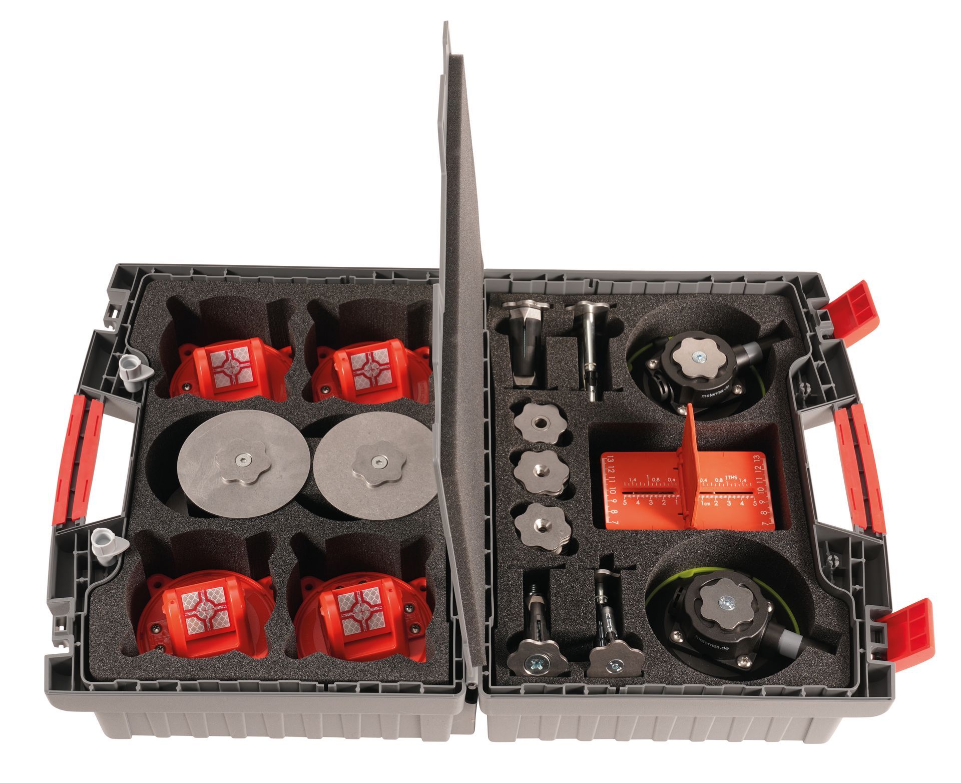
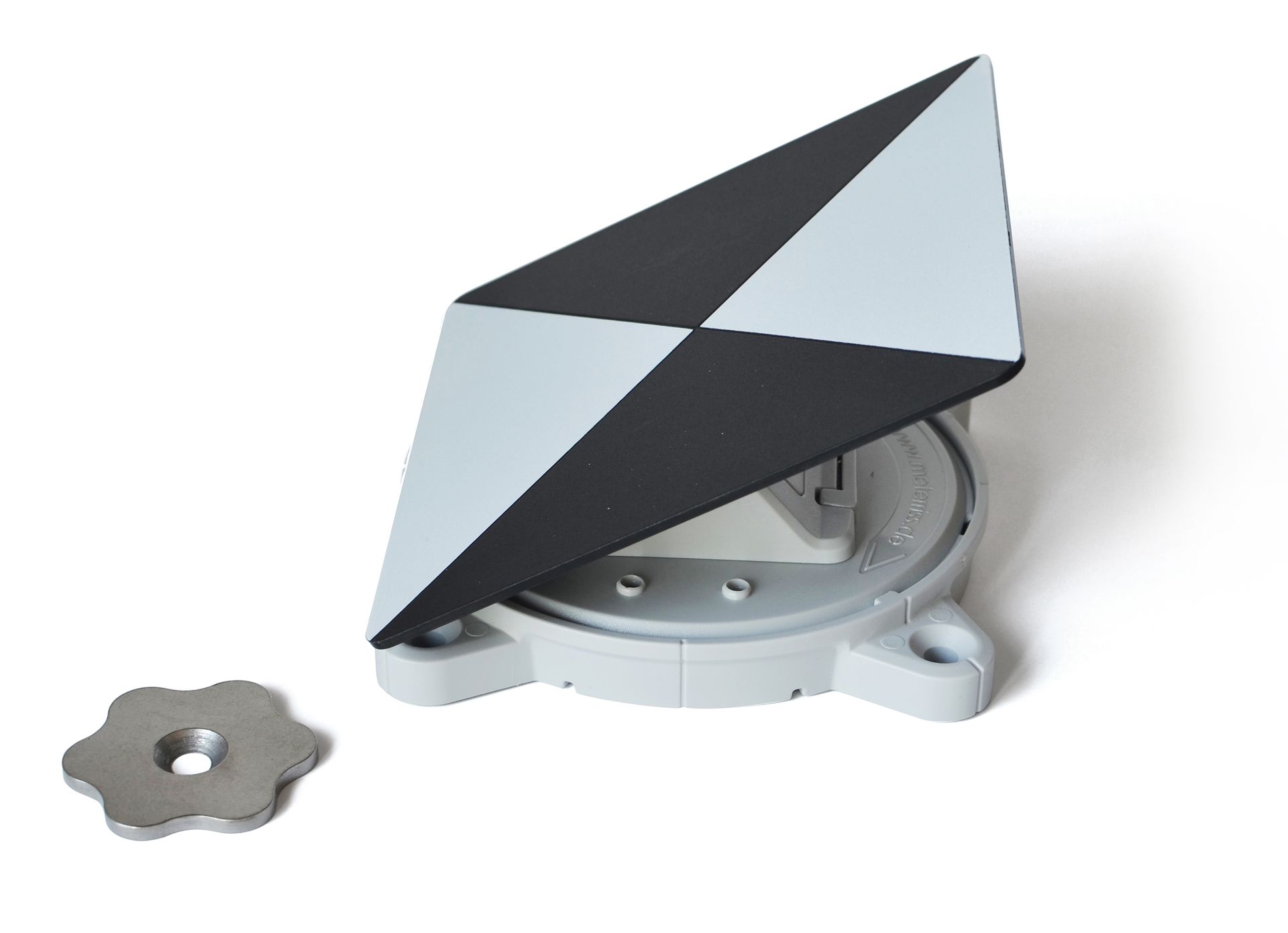
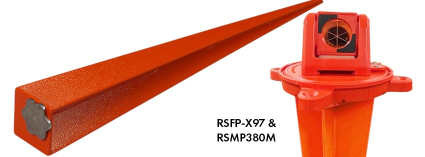
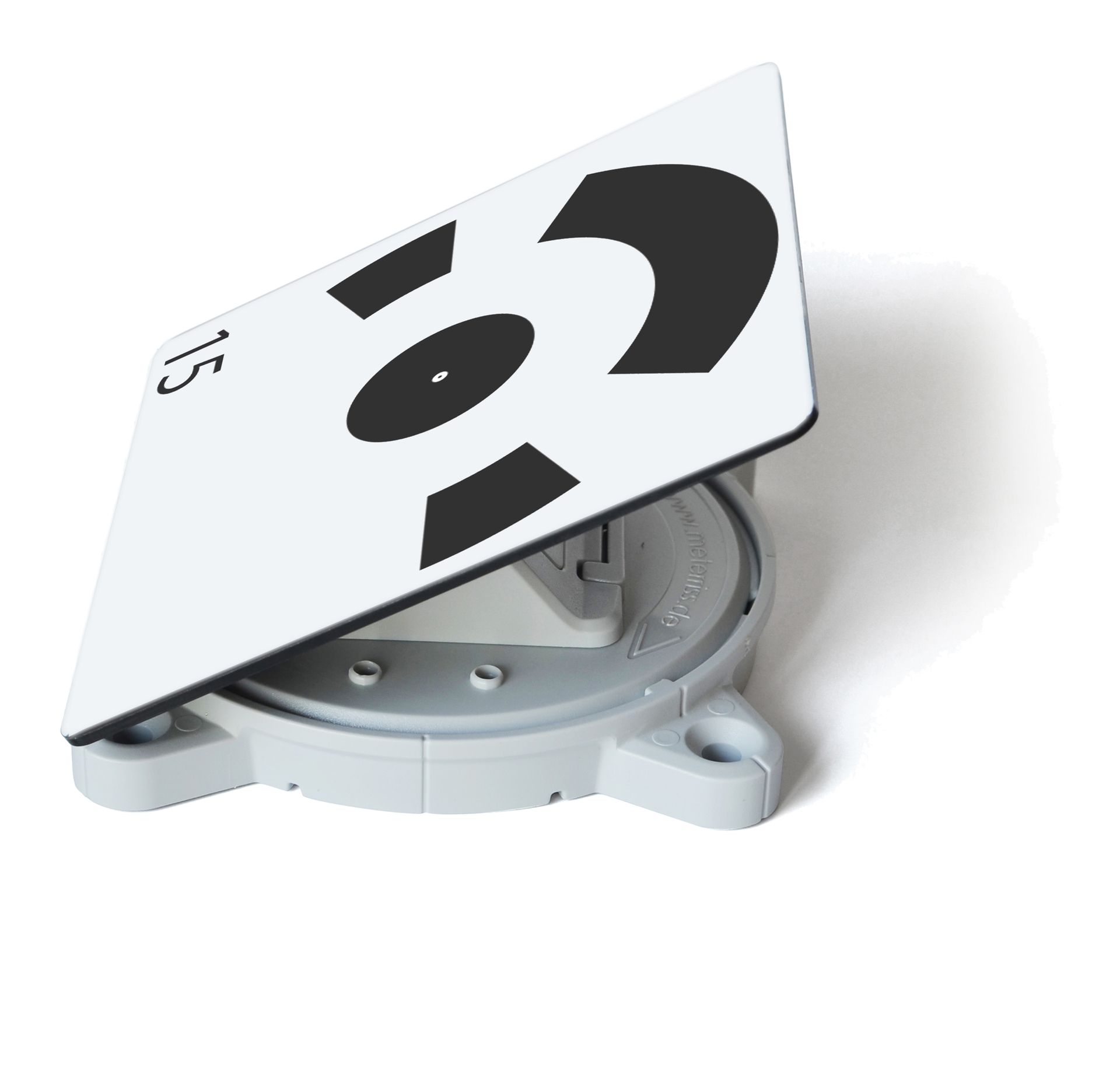
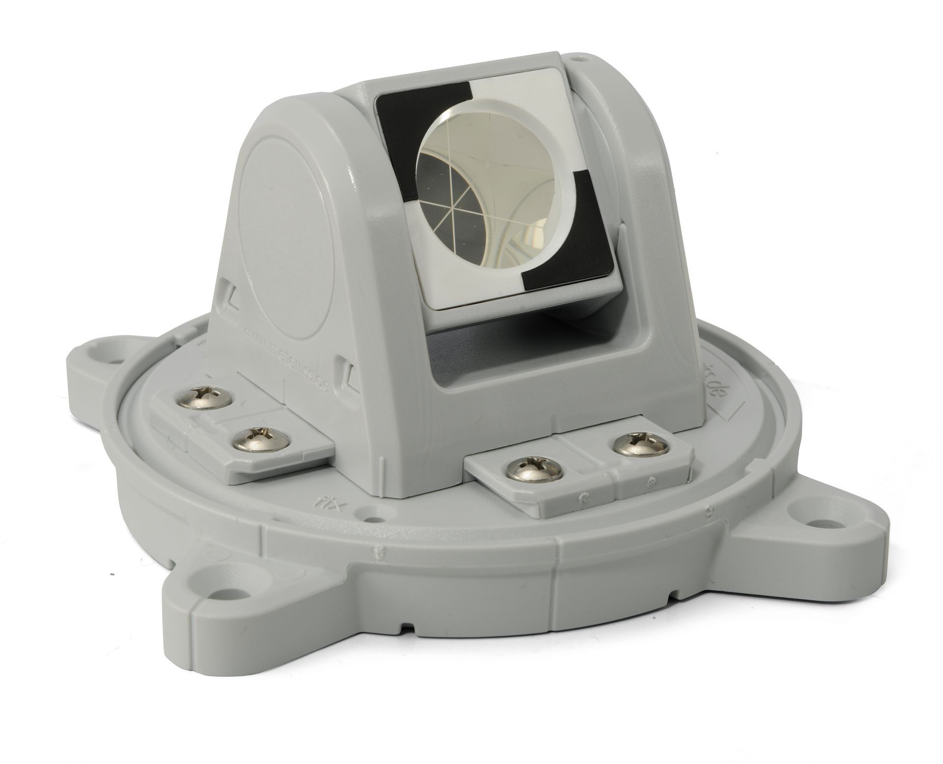
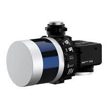
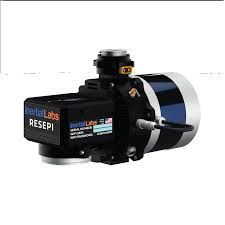
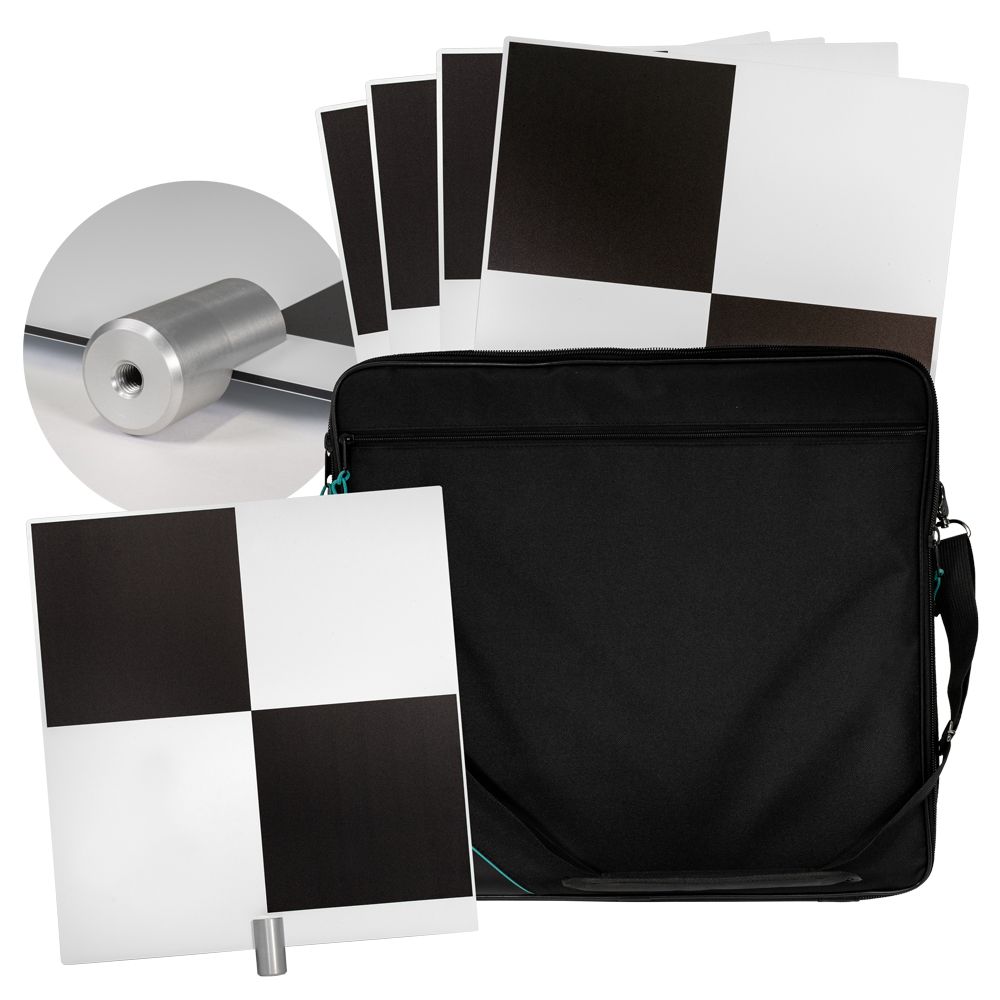
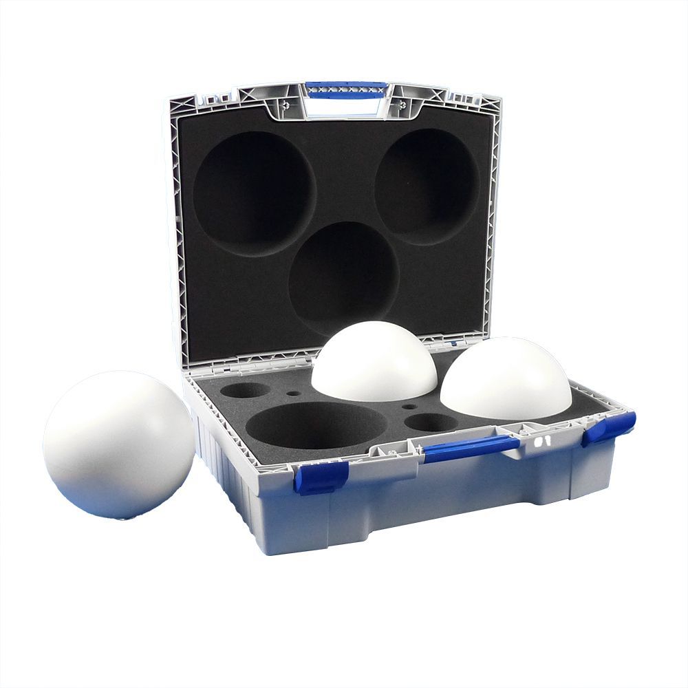
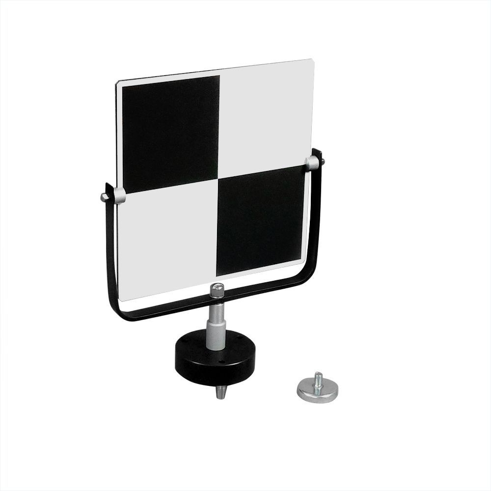
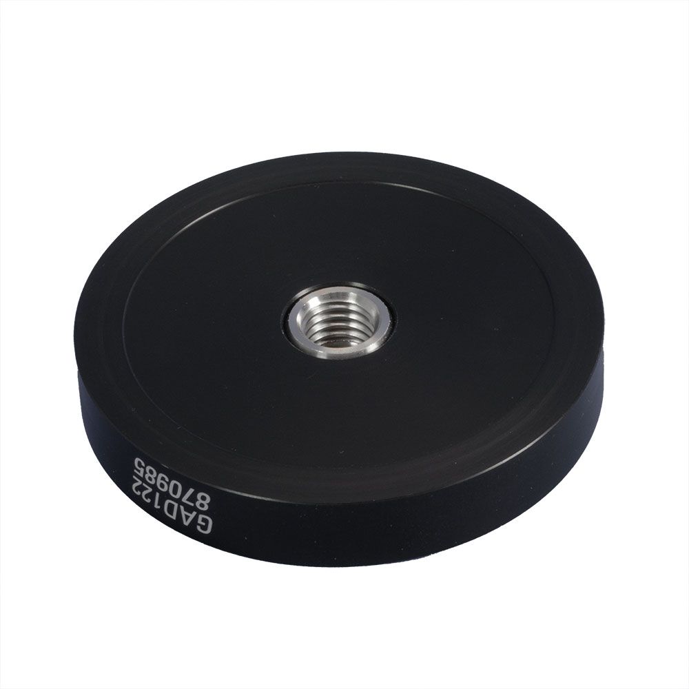
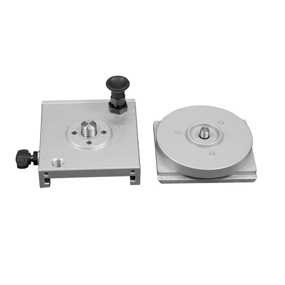
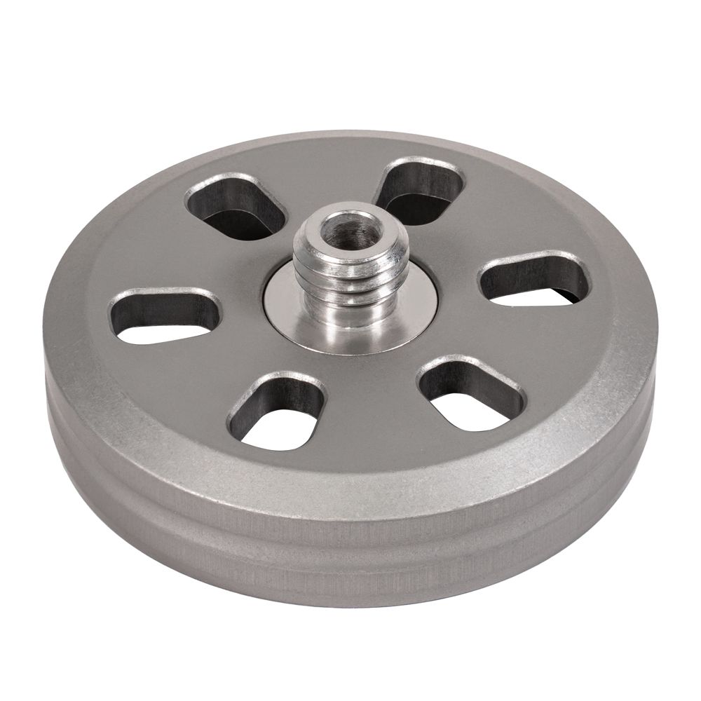
Resepi M2X LiDar w/ 24MP Camera Features:
- System verticle accuracy: 2 - 3 cm
- Precision (1�� Noise Removal): 1.5 - 2.5 cm��
- Noise Removal Capabilities: The system has noise removal capabilities for better range precision
- Lightweight Design: The lightweight design allows for longer flight times
- Field of View (FOV): The system has a 360�� horizontal and 40.3�� vertical FOe: The system has a maximum range of 300m
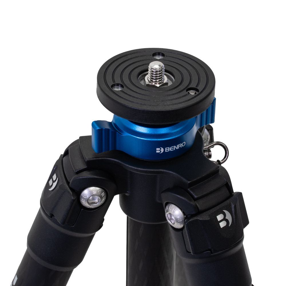
- High-Performance Inertial Labs INS: The system integrates a
- high-performance Inertial Labs INS with a tactical-grade IMU and a
- high-accuracy GNSS receiver
- 24MP RGB Mapping Camera: The system includes a 24MP RGB Mapping Camera for detailed image capture
- Laser range capabilities: 80m @10% ref (all channels) 0.05 to 300m
- Pulse rate: 640k/s (single return); 1280k/s (dual return); 1920k/s (triple return)
- GNSS: Single or Dual Antenna
- Constellations: GPS, GLONASS, Galileo, BeiDou, QZSS, NavIC (IRNSS), SBAS, L-Band
- Output Rates: Up to 200Hz (INS); Up to 2,000Hz (IMU)